![]() Background analysis:
Background analysis:
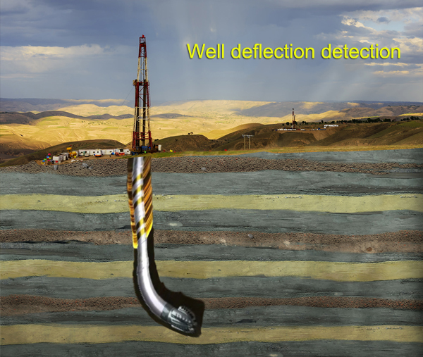
Well deflection is a very important issue in deep geophysical prospecting and oil and gas drilling production. In particular, the well deflection problem under high and steep structure conditions not only causes low rate of penetration, long drilling cycle and high drilling cost, but may also lead to substandard well quality. In severe cases, the well will be filled and re-drilled or scrapped, delaying the well construction cycle, and even resulting in the failure to complete the expected exploration and development. Underground drill-hole survey is a logging method for measuring deviation angle and well azimuth. In the field of oil and gas exploration and development, a large number of wells with complex structures (including horizontal wells, multi-branch and extended reach wells) are widely used. The electronic inclinometer technology is mainly used to measure the well deviation. The basic principle is to use the earth's gravitational field and geomagnetic field parameters to measure the well deviation. Guochuang Micro-magnetic Basic Sensor Array is a high-tech product integrating modern sensing technology, electronic technology and computer technology. It is used for underground drill-hole survey, which can calculate important data such as deviation angle and well azimuth angle, which plays an important role in checking and accepting well drilling quality in deep geophysical exploration, and solving follow-up drilling problems in oil and gas exploration, especially during shale gas acquisition.
![]() Functions:
Functions:
Guochuang Micro-magnetic Basic Sensor can be used to detect geomagnetic data and accelerometer to determine its own position.
![]() Principle:
Principle:
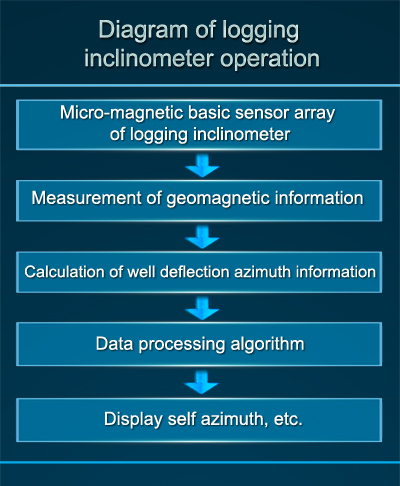
The geomagnetic field is a stable and reliable natural resource, the geomagnetic resources is public, and the geomagnetic vector at each point on the earth is uniquely determined. In a Cartesian coordinate system, there are 7 geomagnetic elements: magnetic declination D, magnetic inclination I, total geomagnetic field intensity T, vertical geomagnetic field intensity Z, horizontal magnetic field intensity H (including horizontal X component (north), and horizontal Y component (east)). The three-component of geomagnetism can be measured by the micro-magnetic basic sensor, and the remaining components can be calculated, which can help the logging tool to calculate the position and obtain other information.
![]() Technical solution:
Technical solution:
The logging inclinometer is mainly composed of Guochuang Micro-magnetic Basic Sensor and accelerometer. It can calculate its own attitude and other information by collecting geomagnetic data.


![]() The main components of the system:
The main components of the system:
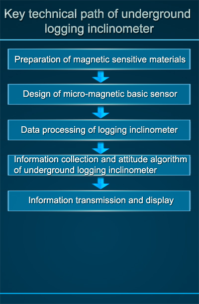
1. The logging inclinometer is composed of accelerometer, micro-magnetic basic sensor, communication module, data processing unit, etc.;
2. The logging inclinometer can use real-time online transmission of inclination data during the process of drilling;
3. Related algorithms include: environmental noise suppression and processing of magnetic anomalous targets small signal;
4. Data processing: collection of magnetic data information;
5. Terminal controller: display the working status and parameter information of the logging inclinometer.
